About My Work
I focus on developing robust biodiversity indicators for land-use planning applications and biodiversity reporting with the Alberta Biodiversity Monitoring Institute. My research bridges the gap between spatial ecology and actionable conservation policy.
Featured Research
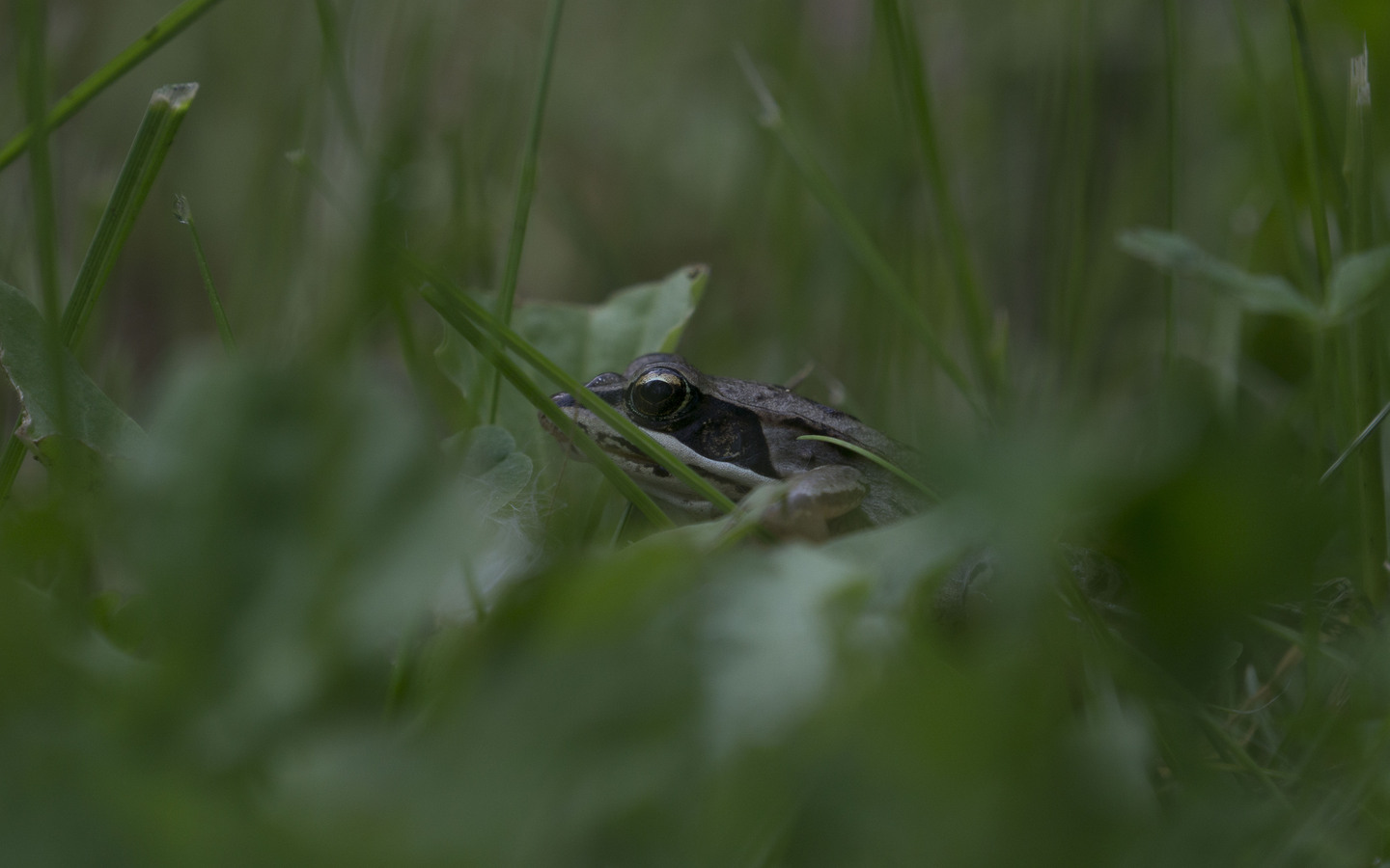
Species Distribution Models
Species distribution models developed for seven taxonomic groups across Alberta, Canada.
View Project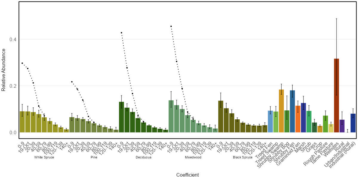
ABMIexploreR
The R package is a decision support tool that provides an interface to enable custom predictions using the species distribution models developed by the Alberta Biodiversity Monitoring Institute (ABMI).
View Project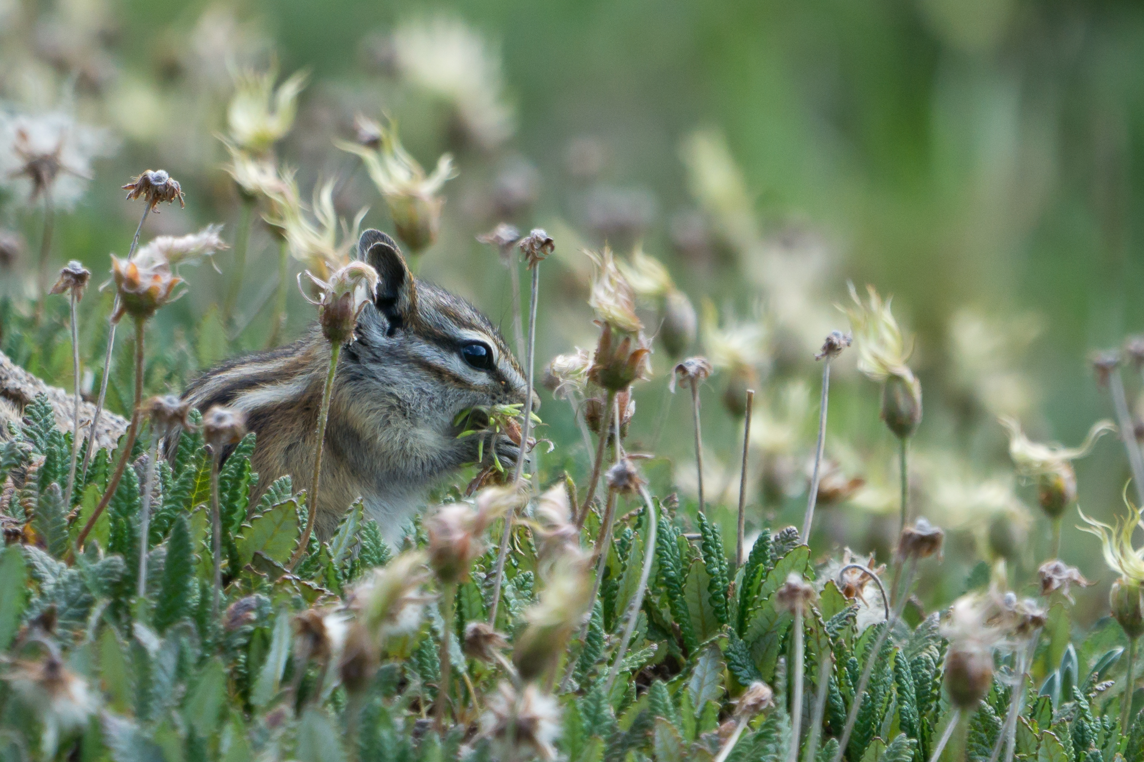
Stream Connectivity
The Stream Connectivity indicator calculates how connected stream segments are across Alberta.
View Project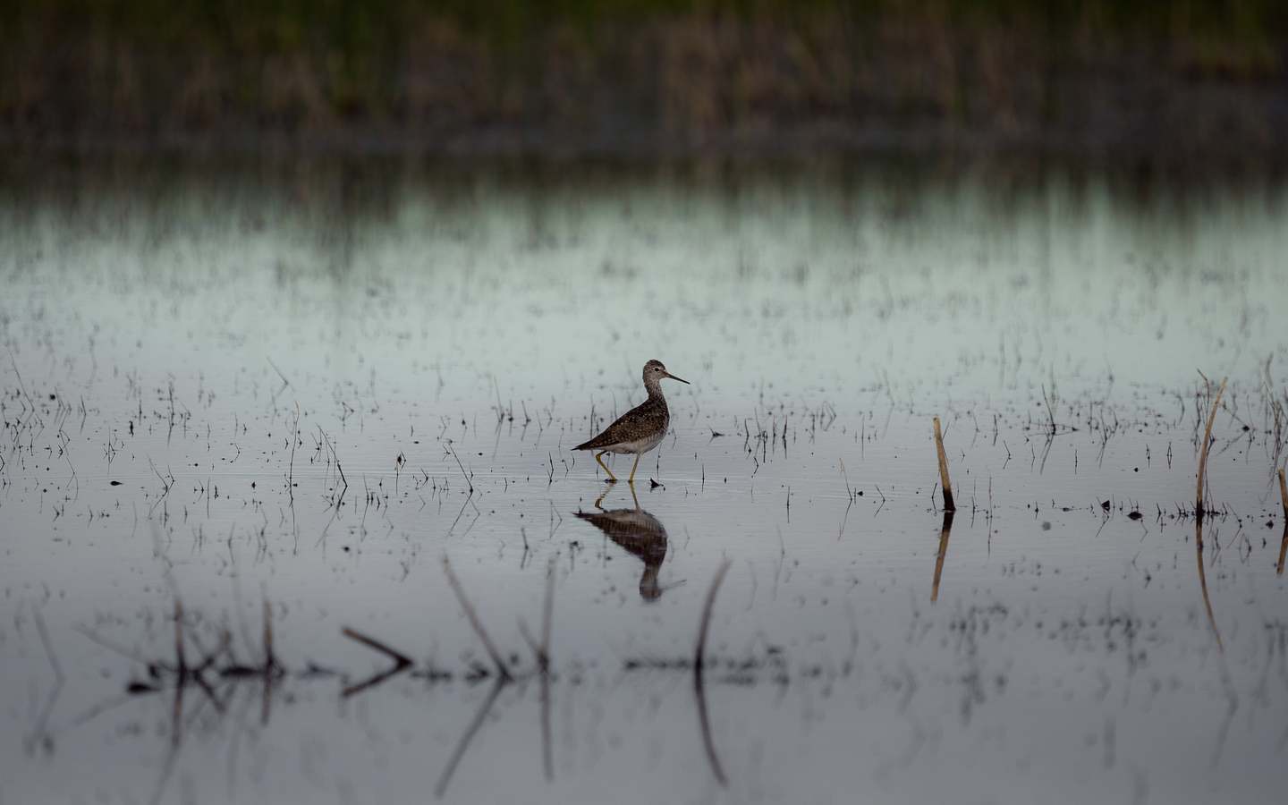
Native Cover Indicator
The Native Cover indicator quantifies one facet of biodiversity loss by tracking the amount of native cover converted to human footprints, typically for settlement, agriculture, resource extraction, and transportation.
View Project
Interior Native Habitat Indicator
The Interior Native Habitat indicator quantifies one facet of biodiversity loss by tracking the amount of area that is not impacted by the edge effects caused by human footprints such as settlement, agriculture, resource extraction, and transportation.
View Project
Landscape Connectivity Indicator
The Landscape Connectivity indicator captures information about the amount of undisturbed landcover and its configuration across the landscape.
View Project